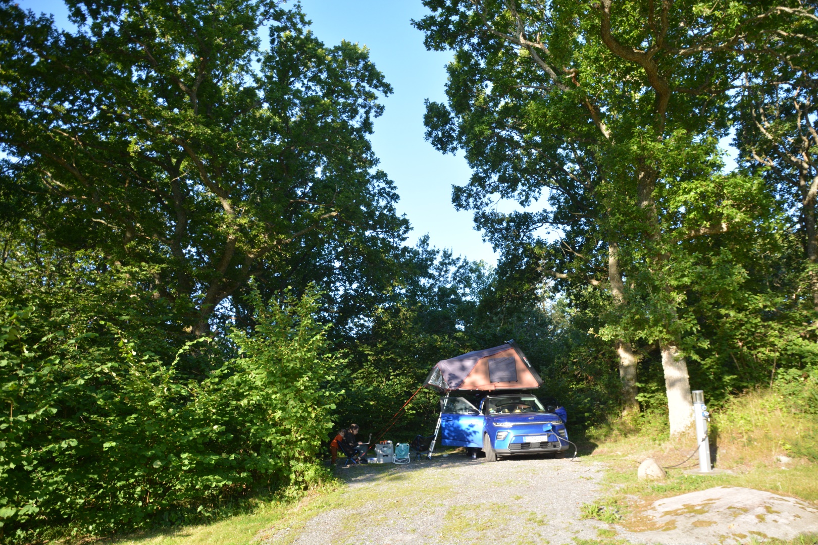
We got greeted by a delightfully sunny morning on our little ställplats out in the middle of nowhere. It was not as cold as the last two nights close to the lake and a bit further north, so breakfast was a pleasant and rather quick affair. Today was marked fully as a city day, but we had a little bit to go before we could get to that.
About 100km and an extremely confusing ride through a cratered landscape of urban re-development later, we found ourselves at the desired parking garage as close to the old town as we needed. We had to be a bit cheeky to grab one of the last four available chargers (out of 50+, mind you!) but around 10:30am we were ready to explore.
After a quick glance at the Lonely Planet map, we decided to start at the northernmost point for the day and get ourselves a bit of an overview from there. Quite literally, actually – since the first stop was the harbor high-rise called “the lipstick”. It had a dedicated viewing platform accessible to the public. 13 € and an elevator ride later, we were treated to a spectacular 360° view of Gothenburg. We could see the moored sailing vessel Number 3 took a liking to on our way here, the massive redevelopment happening in the east that almost tripped our google maps navigation and much more.
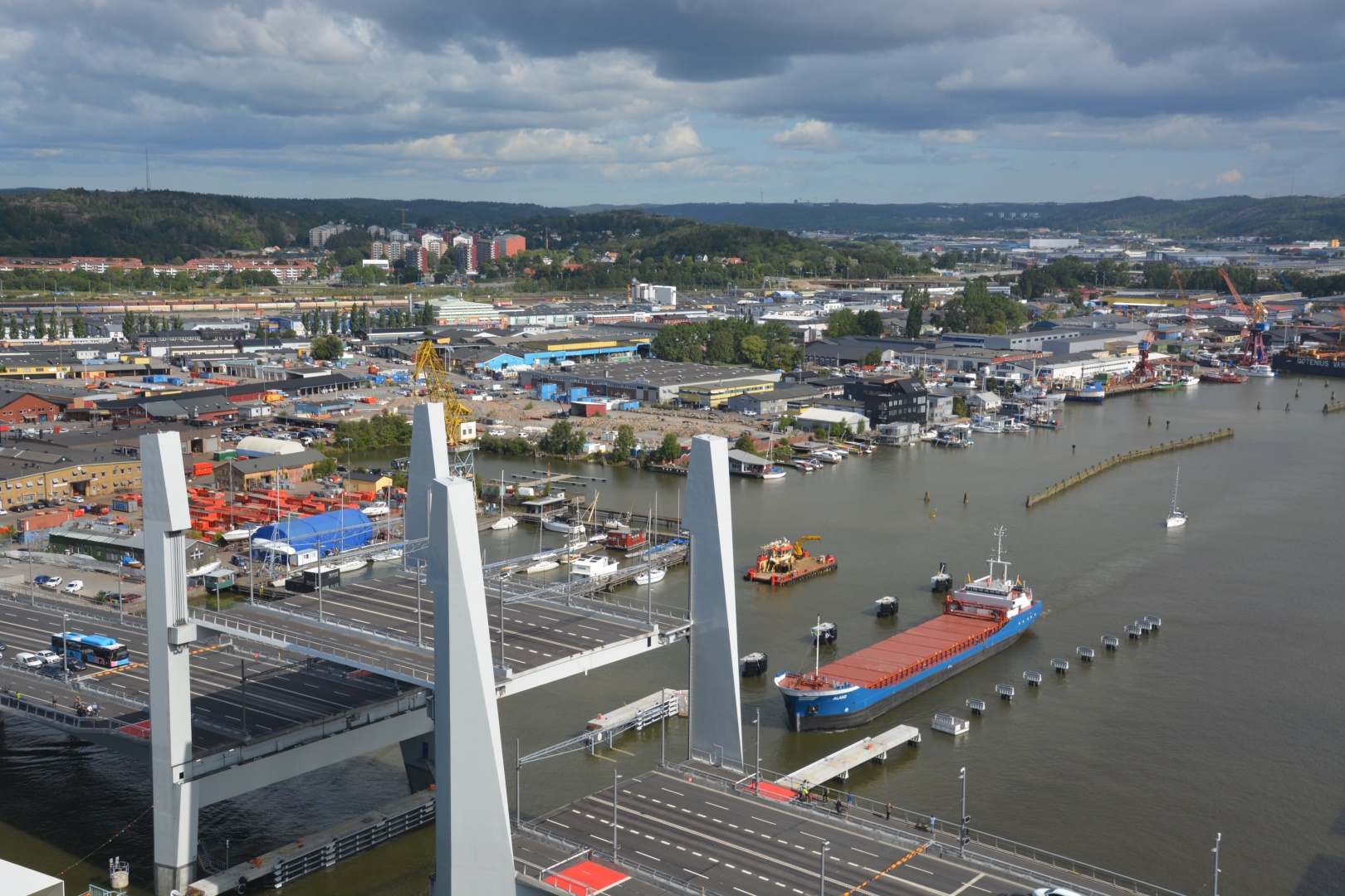
Of particular interest to Number 3 were all the construction sites with interesting machinery in operation all around. That was, until a ship approached to pass the new bridge and it lifted the whole central bit up, tram tracks and all. The old bridge, in the process of being torn down, was locked in open position anyways. Perfect timing – even Nina dared to approach the windows for a view. Otherwise, she preferred the seats closer to the core 😀
Next up was lunch. I had picked a vegetarian place a bit further south and we made the track across town. What I should have done is some COVID due diligence and check if the place actually made it through 2020 (which it had not) – nothing outdates a guidebook (2019 edition!) faster than a global pandemic, eh? With that disappointment fresh and already well into lunch time, we had to revert to emergency mode and settle for “anything, hopefully fast”. The vegetarian buffet lunch we ended up with was alright, but nothing to write home about.
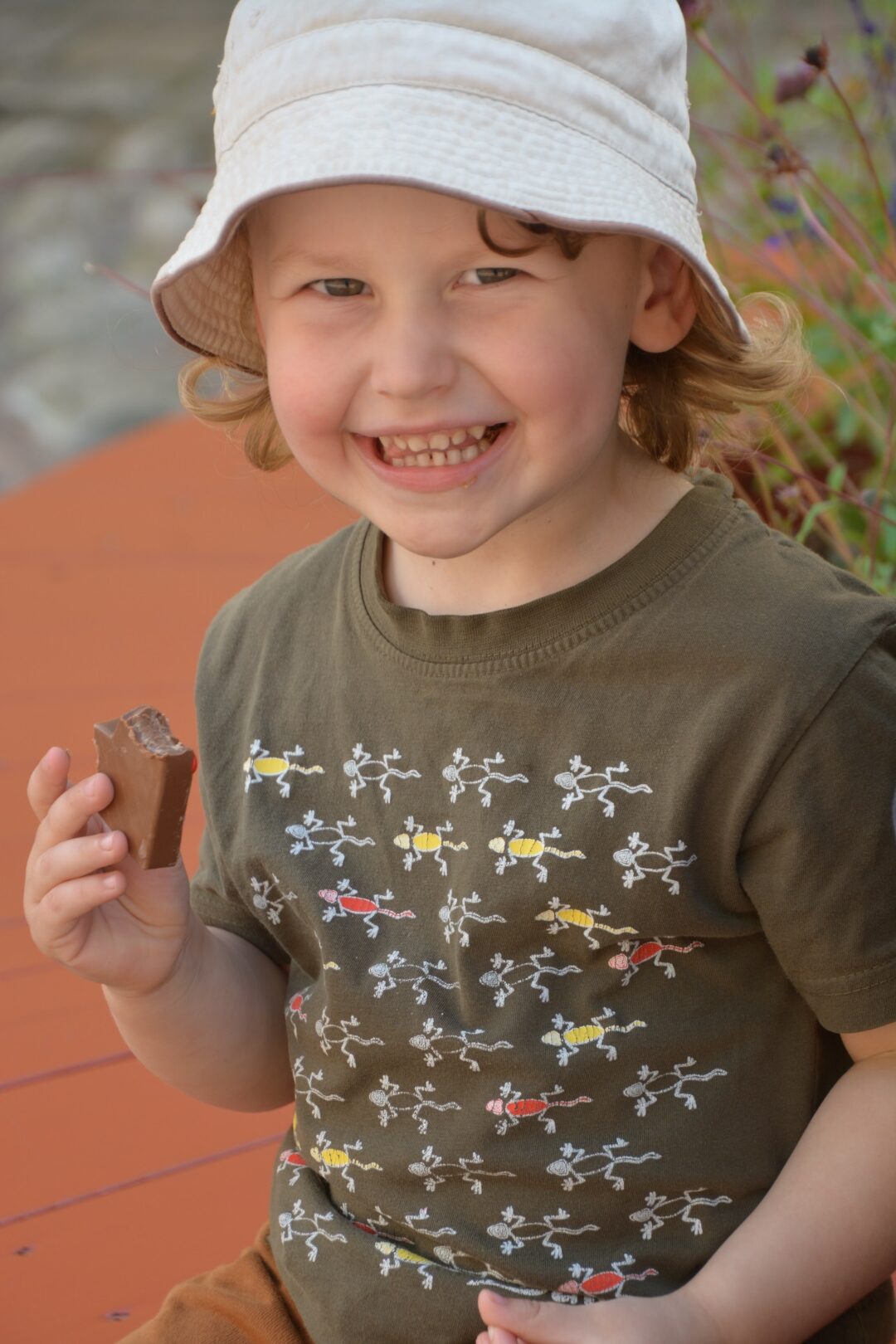
After lunch, some more exploration on foot, via the oldest stone building in the old town (Kronhuset, 1654). The slightly younger service buildings around it have been converted into artisan workshops and cafés. And so, our quest to visit a chocolate manufactory on every continent continued with some gifts and snacks for the way on our way out.
We decided on a change of pace and for two more stops for the day. Four, if you choose to see it from Number 3’s perspective: City museum for some brain food, tram ride, Haga for city vibes and coffee time, tram ride and then home.
The museum was pretty cool and held the kids’ attention for a good hour and a half, topped off with an amazing playroom they had basically to themselves for a while. The tram ride would most likely be the real highlight of the day, in Number 3’s opinion.
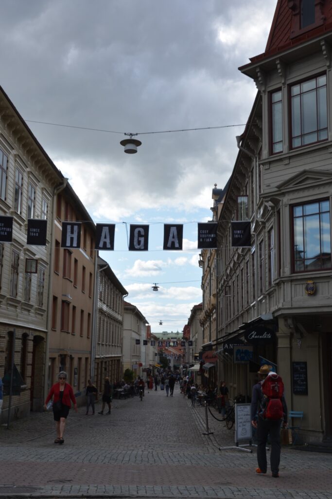
Haga was a very good way to round out the day. A different, more neighborhood-y vibe than the old town it reminded us of Sachsenhausen in Frankfurt. We shared a humongous kanelbullar and enjoyed the atmosphere. In terms of excitement factor for our eldest, all this paled in comparison though to being allowed to pull the string (very old school) to signal the tram driver for our stop.
So off we went, after a good, enjoyable day to our beachside campground just out of town. I think it was a good way to say goodbye to Sweden. Tomorrow, the road …

Breakfast at the ställplats 
Looks a bit like we left her there, munching on her breakfast banana 
Number 3 entertained himself with sharpening sticks on a rock 
Bye West coast! 
A bridge across an inlet before we go to Göteborg 
Our first impression of Göteborg. We then decided to go up on the highrise “the lip stick” and loom at the city from above 
So many flags! It’s a hotel now 
Looking at the new part of town 
The harbour 
And the gigantic construction site that is Göteborg 
Putting on a brave face in the vicinity of heights 
New bridge opening 
A glass facade with tiny windows which Flo promptly opened to take pictures O.O 
Demolition of the old bridge, Numer 3 couldn’t take his eyes off the bits falling down even if it was waaaaaay too loud for him 
Canal at the Brunnenplats 
He might take after me in that regard 
Little snack immediately improved my mood 
That’s her “I want a piece of your chocolate” look 
Right next to the chocolate facory were old suitcases filled with things…quite artsy 
Number 3 found more things to listen to…in Swedish 
A model train! from the 19th century 
Gazing out the window 
Miniature pottery workshop 
Toy tram in the kids’ section of the museum 
Sun slide 
Climbing up the highrise 
Hollywood swing 
The Agent was quite unhappy for a good portion of the day. Here, waiting for mama to come back from the loo 
Our tram to Haga leaving 
Haga, an “area of interest” according to the guide book 
The biggest kanelbullar up to this date. The Agent can’t believe how big it is 
All the kids played with this art installation 
Tram ride. Old skool cord to signal that you want to stop in the background 
Baby driver 
Tent is set up. Looks like rain 
A rainbow appeared! 
Looking out the window to admire the double rainbow 
Evening light at the campground in Göteborg 
Flo and I managed to go on a short evening walk to the shore 
The end of the holiday. From here on out, we drive home

You must be logged in to post a comment.